Category
Case Studies
Where I break down geospatial and engineering concepts through real infrastructure, starting with Singapore's transport and mapping networks.
A Postmortem on the Circle Line Shutdown, Part 2: What Changed That You Couldn't See on a Map
Accessibility, structural redundancy, and what completing the Circle Line loop changed.
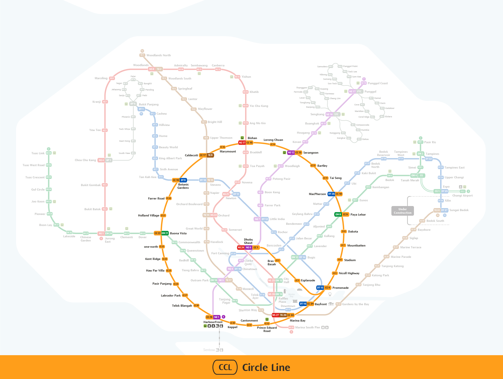
A Postmortem on the Circle Line Shutdown, Part 1: Why One Closure Affected So Many People
Why one closure affected close to 480,000 commuters.